MIAMI (AP) — Hurricane Humberto is on a northward path, generating dangerous surf conditions for Bermuda and the U.S. East Coast this week, while Tropical Storm Imelda is gaining intensity near the Bahamas, according to forecasters.
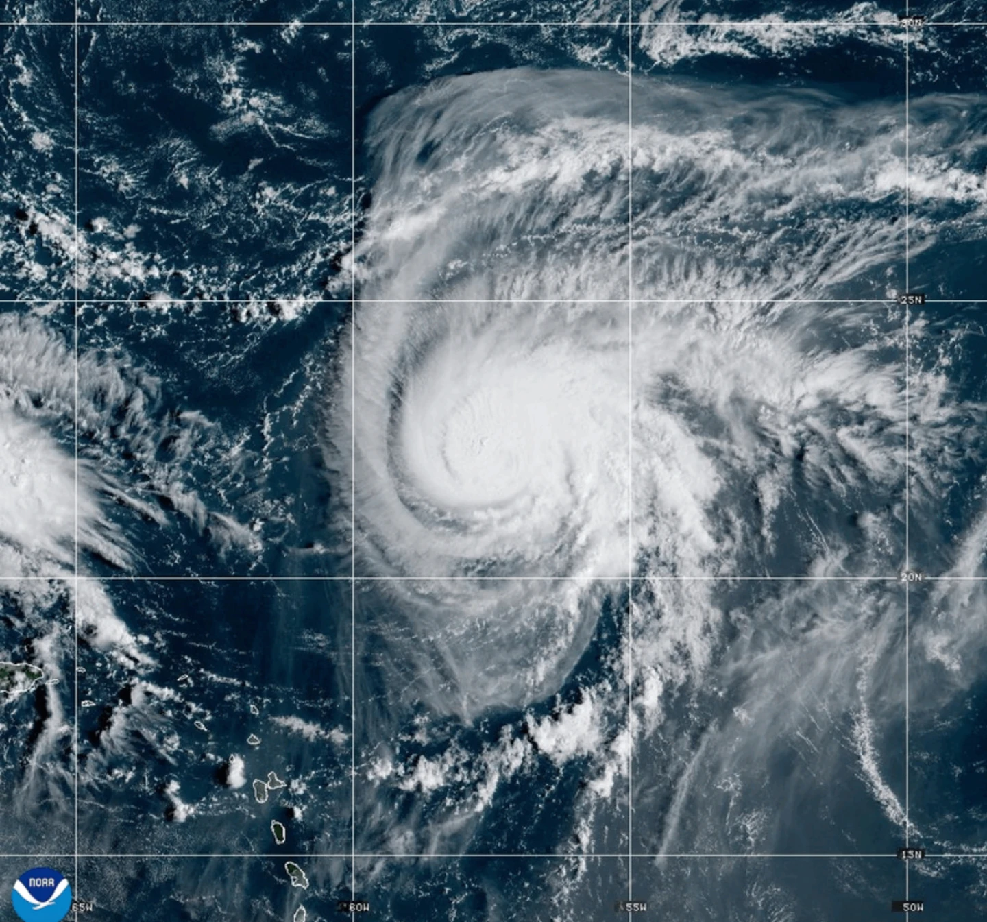
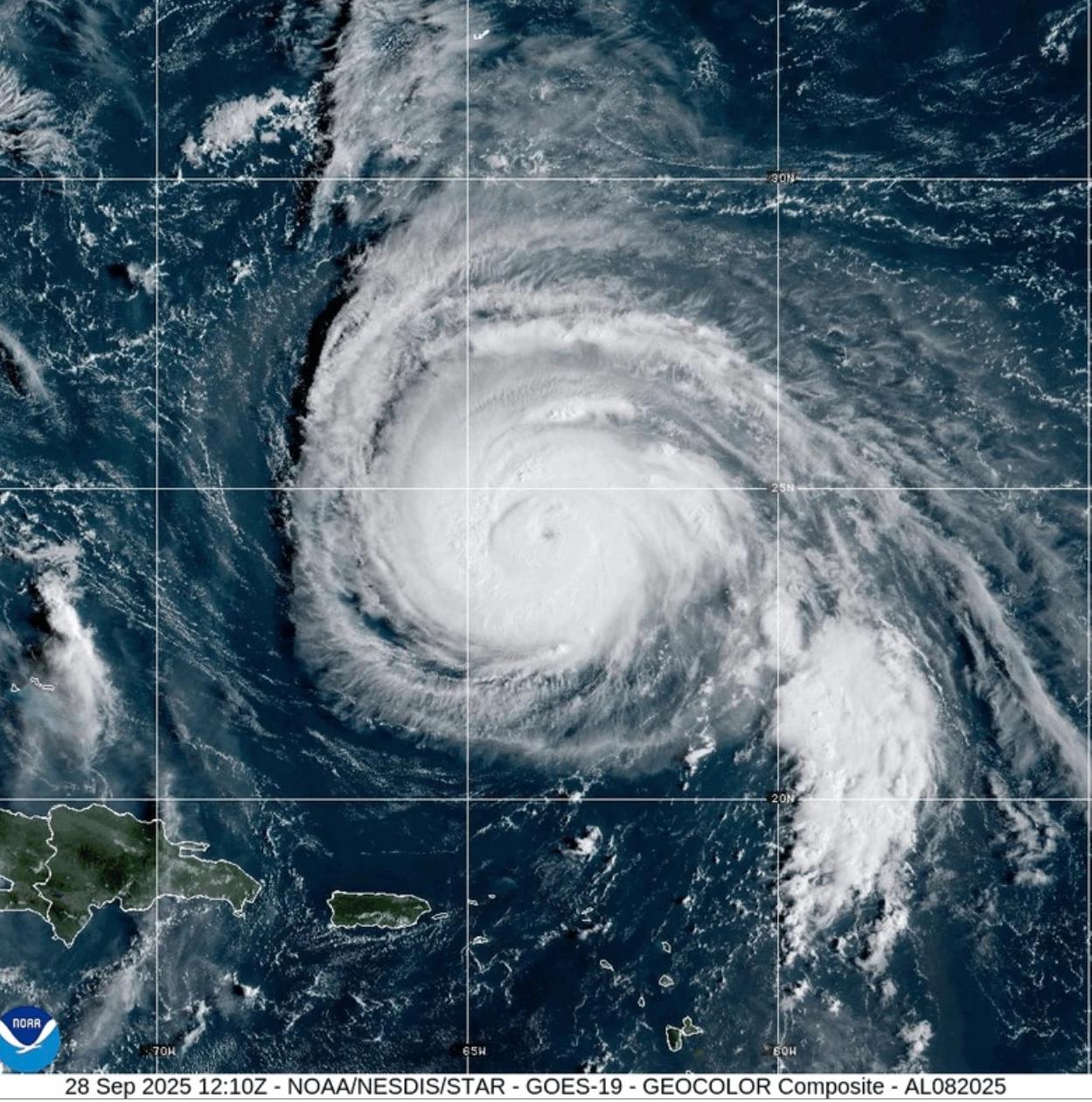
As of early Monday, Humberto maintains a formidable presence as a Category 4 storm, with maximum sustained winds reaching 140 mph (220 kph). The National Hurricane Center in Miami has issued a Tropical Storm Watch for Bermuda as the hurricane moves northwest at 14 mph (22 kph), located approximately 400 miles (645 km) south-southwest of the island.
The hurricane's trajectory is expected to shift, accelerating east-northeast by late Tuesday or early Wednesday. Although Humberto may experience some fluctuations in intensity, it is likely to remain a significant threat over the coming days.
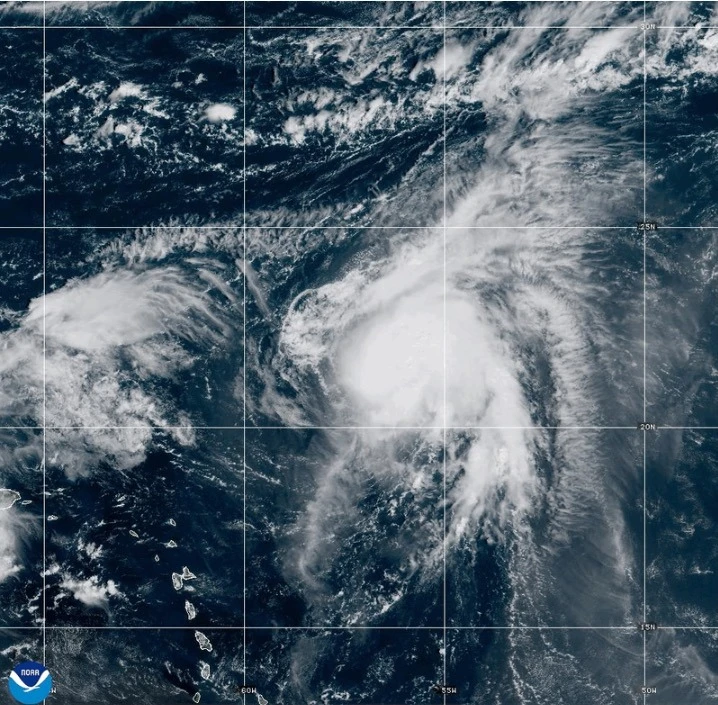
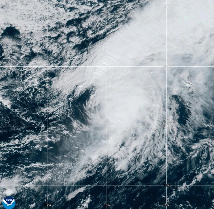
Meanwhile, Tropical Storm Imelda formed on Sunday, prompting warnings for parts of Cuba and the Bahamas as heavy rains and potential flooding loom. Imelda is currently positioned about 130 miles (210 km) northwest of the central Bahamas and is moving north at 8 mph (13 kph) with sustained winds of 45 mph (75 kph).
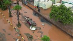
The Bahamas’ Department of Meteorology is anticipating rainfall amounts between 6 to 12 inches (15 to 30 cm) across the northwest and central islands, urging residents in low-lying areas to take precautions against possible flooding.
As conditions worsen, the usually vibrant streets of New Providence Island were quiet, with residents avoiding the areas prone to flooding. Authorities have canceled numerous flights, aiming to resume operations once conditions improve.
South Carolina Governor Henry McMaster emphasized the potential impact of Imelda on his state, prepositioning emergency response teams and reminding residents of the unpredictability of tropical storms. In anticipation of the storm, North Carolina Governor Josh Stein has declared a state of emergency ahead of Imelda's arrival.
Emergency updates will follow as the situation develops.