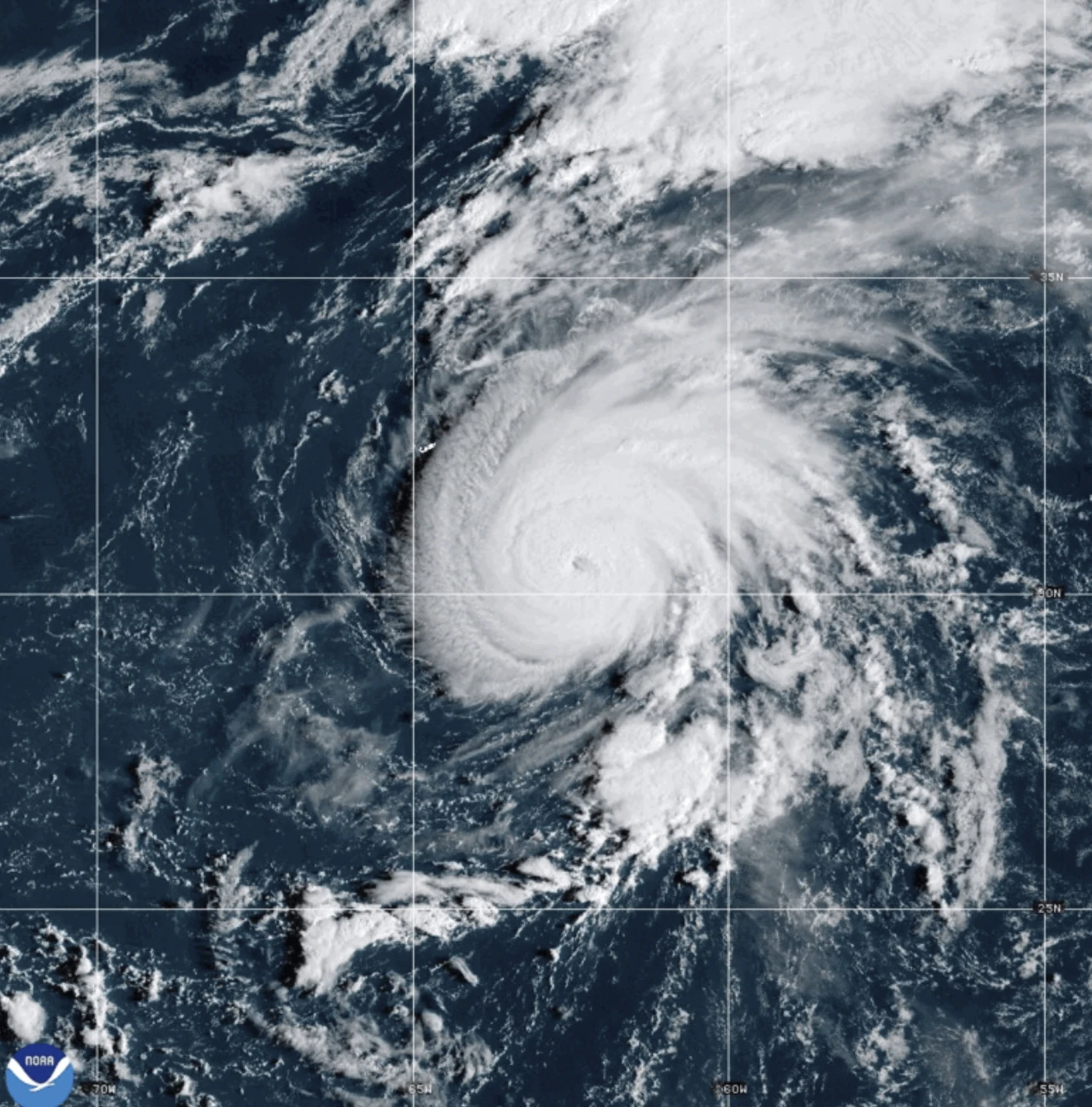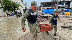
MIAMI (RTW News) — A swift-moving Hurricane Gabrielle is forecasted to unleash heavy rain, high winds, and a dangerous storm surge on the Azores islands beginning Thursday night into early Friday, according to meteorological authorities.
A hurricane warning is in effect across all islands of the volcanic archipelago, prompting local authorities to advise residents to finalize preparations for this impending storm.
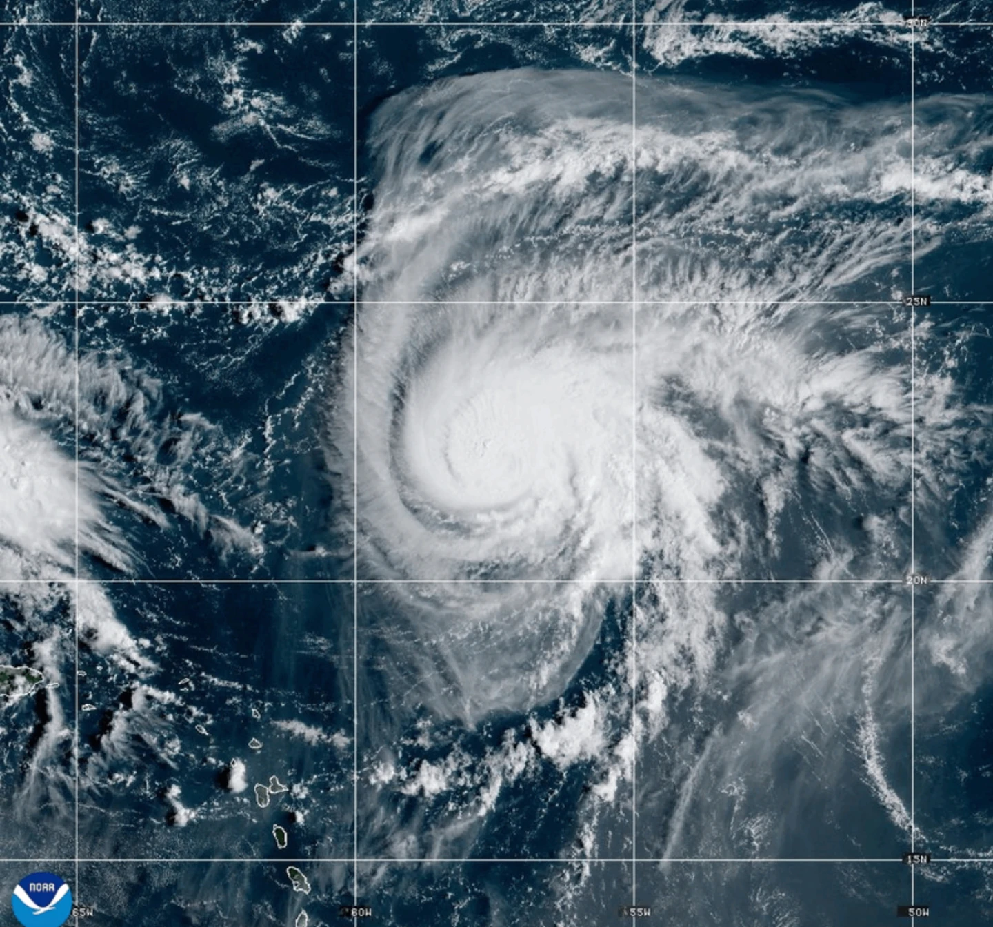
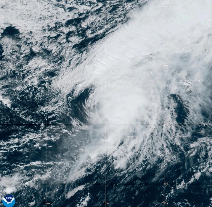
As of Thursday afternoon, Gabrielle was located approximately 455 miles (730 km) west of the Azores, packing maximum sustained winds of 75 mph (120 kph) and moving eastward at a speed of 32 mph (52 kph).
The storm is expected to bring life-threatening surf and rip current conditions starting Thursday, impacting not only the Azores but also causing large waves along the northeastern U.S. coast and parts of Atlantic Canada.
As the storm passes through the Azores, it is anticipated to maintain hurricane strength but will begin to weaken by the weekend. However, forecasters caution that even after the core of the storm moves past, strong gusts of hurricane-force winds will still pose significant risks across the islands.
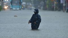
A dangerous storm surge coupled with damaging waves is predicted to contribute to severe coastal flooding. Rainfall estimates predict that the central Azores could receive up to 5 inches (13 centimeters), with eastern and western regions expecting around 3 inches (8 centimeters), increasing potential for flash flooding, especially in mountainous areas.
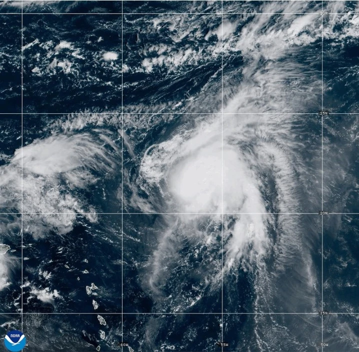
Meanwhile, Tropical Storm Humberto, which originated near the Caribbean, has also been monitored, currently positioned 465 miles (750 km) east-northeast of the Leeward Islands. This system is expected to strengthen into a hurricane as it advances over the central Atlantic.
In the Pacific, Hurricane Narda is gradually moving away from Mexico with top sustained winds of 90 mph (150 kph), but it too is expected to regain strength, potentially reaching Category 2 status soon.