Expected Tropical Storm Imelda Takes Shape Amid Hurricane Humberto's Activity
MIAMI (RTWNews) — A weather system, expected to evolve into Tropical Storm Imelda later today, is moving towards South Carolina, triggering alerts and preparations as it may strengthen into a hurricane early next week. The storm is currently impacting the Bahamas and neighboring islands.
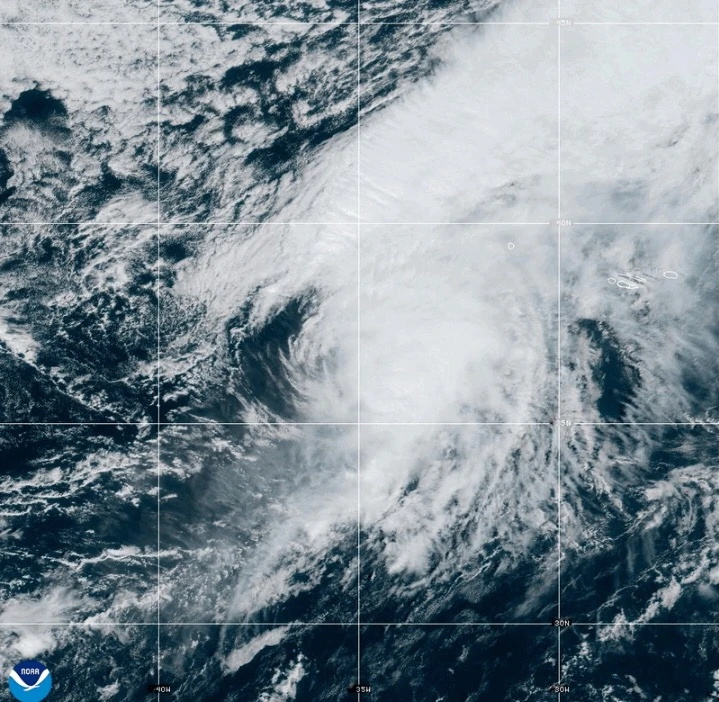
Meanwhile, Hurricane Humberto has weakened slightly but remains a formidable Category 4 storm in the Atlantic, posing a threat to Bermuda.
South Carolina Governor Henry McMaster has advised residents to closely monitor the weather conditions. In North Carolina, Governor Josh Stein has declared a state of emergency in anticipation of the approaching system, initially designated as Tropical Depression Nine.
As per the latest updates from forecasters, this system is on a path to become a tropical storm today and could reach hurricane strength by late Monday or Tuesday, officially named Imelda.
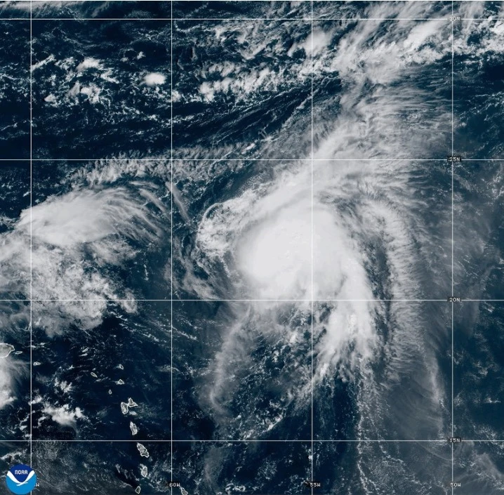
Currently, the weather system is situated approximately 100 miles west-southwest of the Central Bahamas, moving north-northwest at 7 mph with maximum sustained winds of 35 mph.
“What we learn every time is we can never predict the exact path these storms will take,” McMaster stated in a press briefing. “This storm is serious, and it has the potential to be deadly.”
The looming storm may bring destructive winds and substantial rainfall, risking flooding. The state is already mobilizing search and rescue teams in anticipation.
Hurricane Humberto: A Weakened yet Major Threat
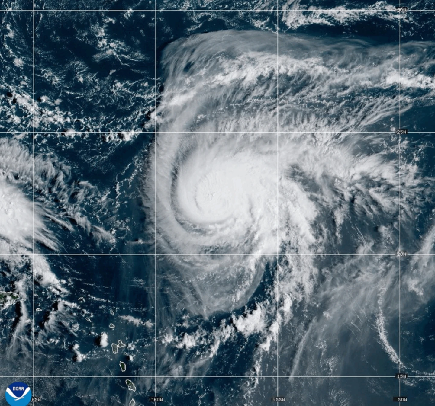
Hurricane Humberto has reported maximum sustained winds of 155 mph, making it a strong Category 4 hurricane. As of the latest reports, it is about 585 miles south of Bermuda, advancing west-northwest at 13 mph.
Forecasters warn that a tropical storm watch may be necessary for Bermuda soon, and coastal regions in the U.S. could expect swells by Monday.
Tropical Depression Nine is currently affecting areas of Cuba and the Bahamas, bringing heavy rains and the potential for flash floods, with parts of the Bahamas now under a tropical storm warning.
The Bahamas’ Department of Meteorology is urging those in the northwest and central islands, including Nassau and Long Island, to finalize preparations for the anticipated storm conditions.
Final preparations are critical as residents in vulnerable areas are warned to take measures to prevent property damage due to flooding.
This weather disturbance has previously led to severe rainfall in the Dominican Republic, resulting in the evacuation of hundreds and the issuance of a red alert in five provinces.
In the Pacific: Tropical Storm Narda
Tropical Storm Narda, which was previously a hurricane, is currently located approximately 1,045 miles west-southwest of Mexico's Baja California Peninsula. It is moving north at a speed of 5 mph, with maximum sustained winds reported at 60 mph.
Coastal regions of Mexico and Baja California Sur are experiencing swells from Narda, leading to potentially dangerous surf and rip current conditions in Southern California.
___
Contributions to this report provided by Associated Press writer Regina Garcia Cano in Caracas, Venezuela.