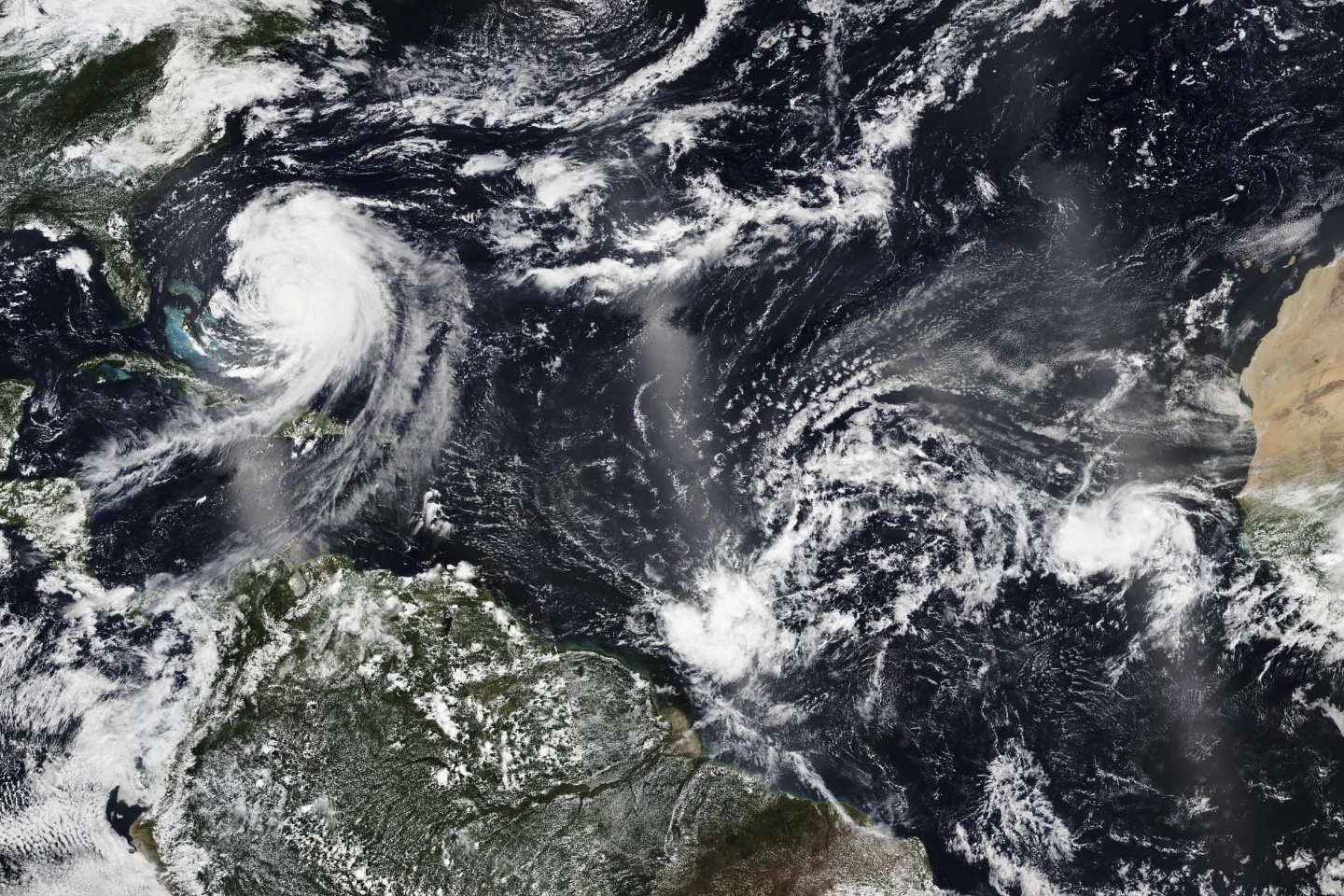
MIAMI (RTW News) — Dangerous weather conditions are forming over the Atlantic Ocean as Hurricane Humberto has intensified into a powerful Category 4 hurricane and a new weather system threatens the Southeast U.S.
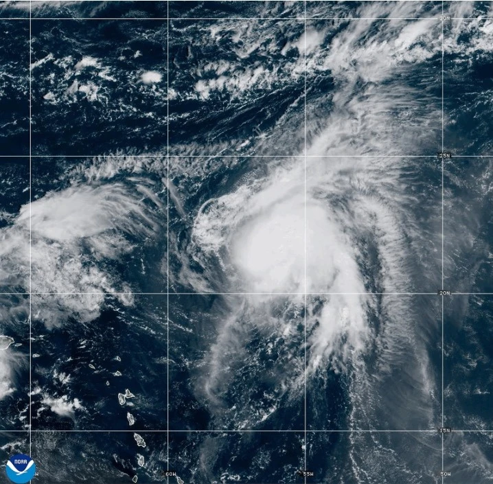
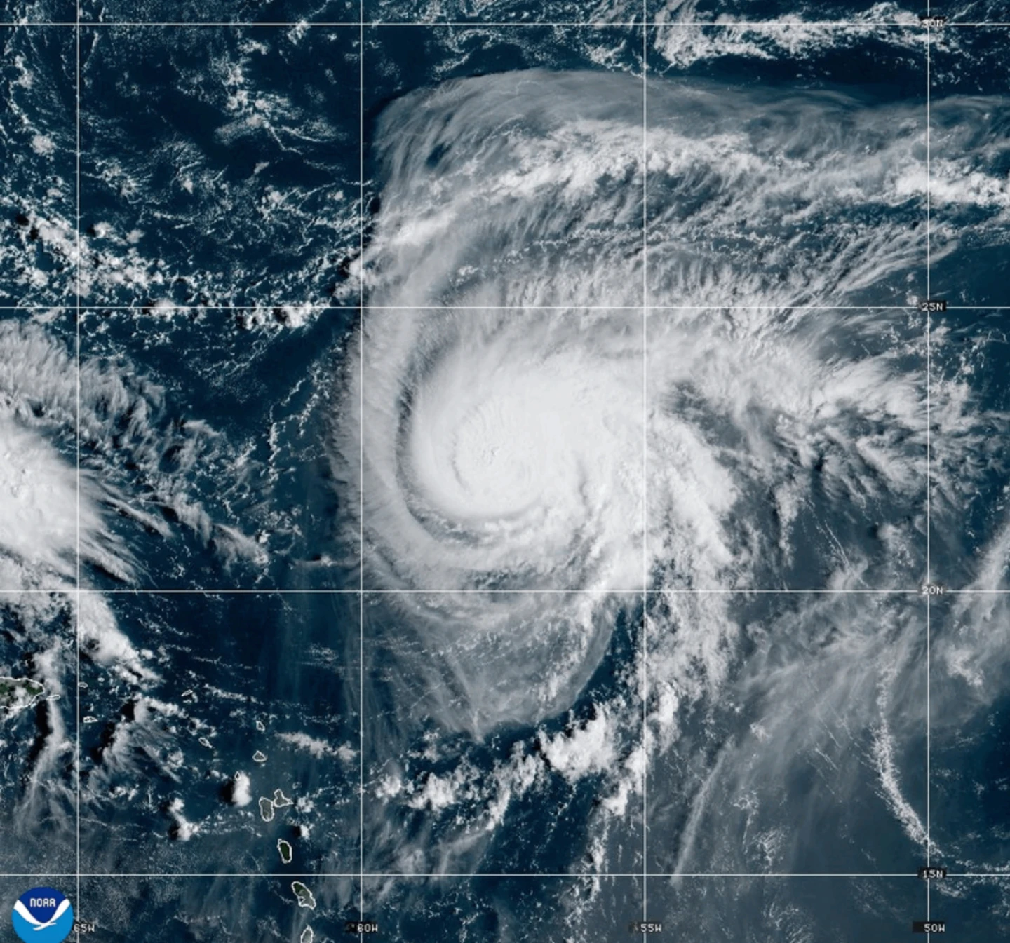
As of Saturday, Hurricane Humberto boasts maximum sustained winds of 145 mph (230 kph), moving west at 6 mph (9 kph) and located approximately 375 miles (605 kilometers) northeast of the northern Leeward Islands. Life-threatening surf and rip currents are expected over the weekend, putting residents in the Virgin Islands, Puerto Rico, Bermuda, and the northern Leeward Islands at risk.
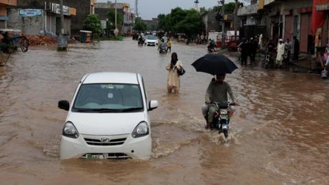
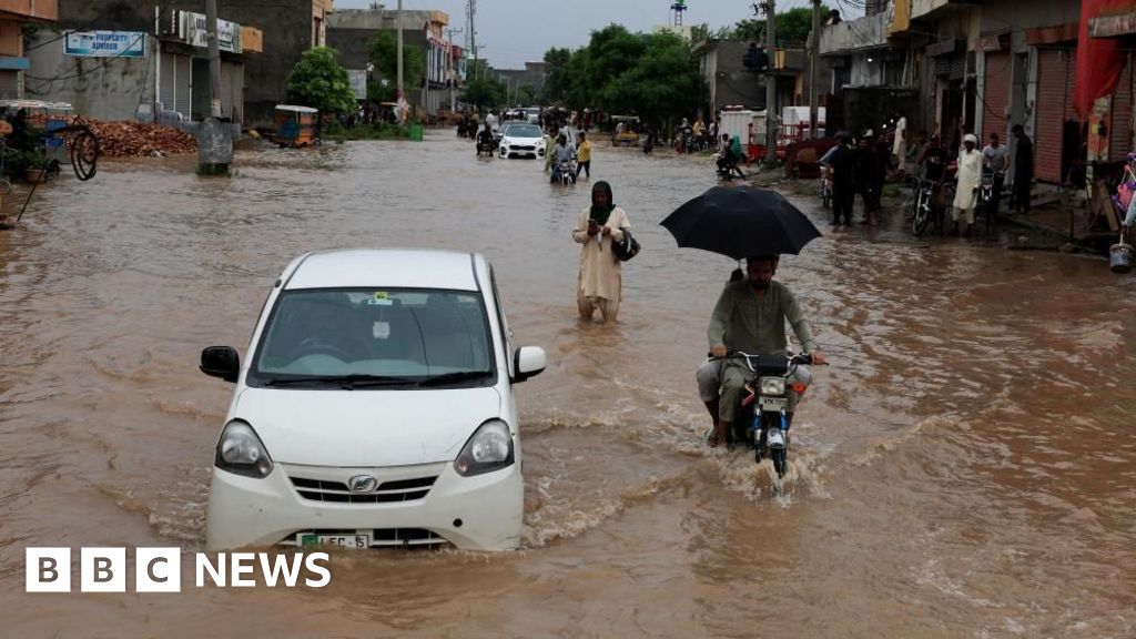
Meanwhile, a weather system that could evolve into a tropical storm promises heavy rainfall and potential flash flooding for parts of the Bahamas and Cuba. Tropical storm warnings were issued for certain areas in the Bahamas on Saturday.
The same system is projected to move toward the Southeast U.S. early next week, with experts estimating it could strengthen into a tropical storm by Sunday and transition into a hurricane by late Monday.
In preparation for the impending storm, South Carolina Governor Henry McMaster declared a state of emergency last Friday. This declaration allows emergency officials to coordinate with local and federal governments while ensuring residents can access federal aid if necessary.
Authorities in Charleston, South Carolina, are taking proactive measures, organizing sandbags and checking high-water vehicles to mitigate flood impact. Chief Fire Marshal Michael Julazadeh emphasized the importance of preparedness, stating, Even though this has not formed yet, we are treating it as if we are expecting some kind of impact. That’s critical. We don’t want to downplay the scenario.
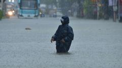
In the Dominican Republic, the disturbance has already caused significant flooding, forcing hundreds to evacuate and prompting authorities to declare a red alert in several provinces. The overflowing rivers and streams have led to landslides and community isolation, resulting in at least one fatality due to infrastructure damage.
Looking to the eastern Atlantic, post-tropical cyclone Gabrielle is moving away from the Azores, with hurricane warnings previously issued for the region now lifted. Forecasts indicate expected swells could lead to hazardous surf conditions in parts of Portugal and northwestern Spain over the weekend.
In the Pacific Ocean, Hurricane Narda is currently located approximately 1,025 miles (1,650 kilometers) west-southwest of Baja California. This Category 1 storm is predicted to weaken in the coming days, although swells from the storm may still impact coastal areas of Mexico and California.