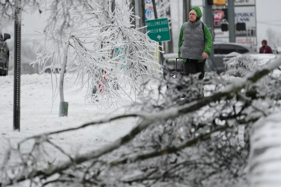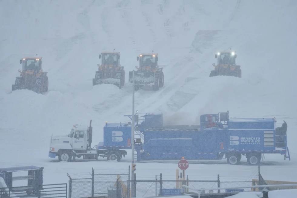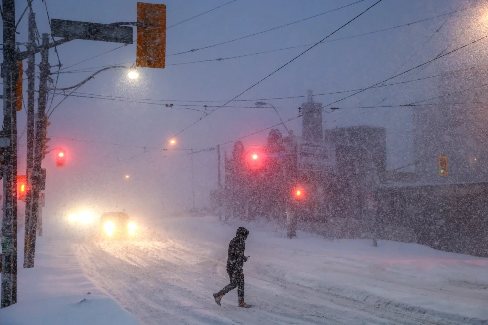
A potent winter storm is bringing blizzard-like conditions, hazardous travel, and potential power outages to the Upper Midwest. Other regions of the nation are bracing for a rapid drop in temperatures, accompanied by strong winds, snow, and rain.
The storm reached the northern Plains on Sunday, with the National Weather Service issuing warnings of whiteout conditions that could render travel nearly impossible. Forecasts predict that certain areas in the upper Great Lakes could see more than a foot (30 centimeters) of snow, with accumulations potentially doubling along Lake Superior's southern shore.
Bob Oravec, a lead forecaster at the National Weather Service, indicated that different parts of the storm are causing varying impacts across the country. Part of the storm system is getting heavy snow, while other areas experience higher winds and a significant drop in temperature, he stated.
Wind chills could plummet to as low as minus 30 degrees Fahrenheit (minus 34.4 degrees Celsius) in North Dakota and Minnesota over the coming days.
Meanwhile, in the South, meteorologists are predicting severe thunderstorms as a cold front arrives, ending a spell of record warmth. For instance, Atlanta enjoyed a high of around 72 F (22 C) on Sunday, following record-breaking temperatures for Christmas Eve. However, that trend is expected to rapidly change with forecasts indicating temperatures could drop to 25 F (minus 3.9 C) by Tuesday morning.
This drastic change indicates the South is reverting to a more wintry pattern, and travelers across these regions should remain vigilant, particularly as the storm is expected to strengthen and continue moving eastward.