
In brief
El Niño, now a strengthening phenomenon, is already sending shockwaves through global weather. In Indonesia, a record‑size wildfire season has scorched nearly six times the area of Greater London, while the eastern Pacific has seen an unusually active hurricane season with multiple major storms. Meanwhile, the Atlantic remains eerily quiet, the Indian monsoon has fallen 13 % below average, and intense typhoons are heading for east China and Japan. Scientists warn that these extremes could repeat, raising alarms for agriculture, public health and coastal communities.
El Niño has been building strength for months, and its fingerprints can already be seen across the planet. Below are five ways the climate anomaly is reshaping weather patterns worldwide.
Indonesia battles its worst wildfire season since 2015
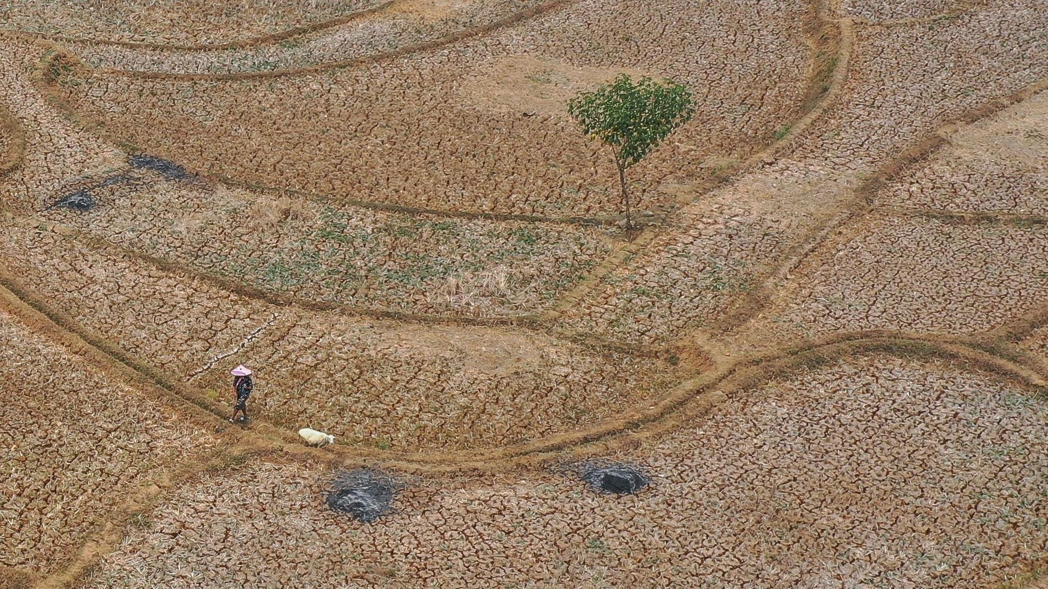
In the driest part of El Niño, Indonesia has seen a catastrophic fire wave. Since January, some 895,657 hectares—nearly six times the size of Greater London—have burned. The blazes have forced school closures, increased hospital admissions, and exposed over 175,000 people to toxic haze.
East Pacific explodes with hurricane activity
The eastern Pacific has boomed with storms: 22 named systems have become 12 hurricanes, including 10 major ones, well ahead of typical run‑rates. Warm sea surface temperatures and reduced wind shear have allowed many hurricanes to intensify rapidly—Hurricane Polo reached 180 mph in a single day.
Atlantic hurricane season remains eerily quiet
In stark contrast, the Atlantic has been subdued. El Niño drives high‑latitude wind shear that stifles storm development. Only one hurricane—Isaias—has formed, making it the latest hurricane on record to appear in the satellite era.
Reduced monsoon rain threatens agriculture in India
India’s monsoon has been 13 % below average, with eastern and northern regions experiencing 26 % less rainfall than normal. When rain does fall, it comes in swings of dry spells and heavy downpours, stressing crops and farmers.
Strong typhoons target East China and Japan
Eastern China and Japan have already felt the force of fierce typhoons like Maysak and Dujuan. The warm Pacific waters of El Niño help these storms travel further east, giving them more time to gain power before landing.
With the World Meteorological Agency projecting El Niño to persist until at least 2027, scientists warn of a continued trend toward extreme weather—wilder fires, stronger tropical cyclones, and destabilised monsoonal rains.