In brief
In 2025, the Amazon rainforest burned 3.1 million hectares—an almost 80% drop from 15.8 million hectares in 2024—making it the smallest burned area since 1985. The MapBiomas data shows a nationwide decline, with only 12.7 million hectares burned across Brazil compared with 30 million last year. Cooler La Niña conditions helped ease the previous El Niño‑driven fires, but climate analysts warn that the next El Niño could again raise the risk. President Luiz Inácio Lula da Silva’s pledge to curb deforestation gains political weight, yet debate continues over proposed oil exploration at the Amazon’s mouth. The figure reflects both environmental progress and the ongoing tension between development and conservation in the region.
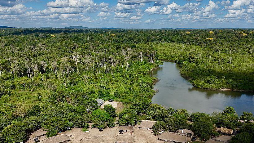
The Amazon rainforest saw a dramatic reduction in the area burned in 2025, according to data from the Brazilian deforestation monitoring group MapBiomas. While 15.8 million hectares were scorched in 2024—a record high—the following year saw only 3.1 million hectares on fire, the smallest extent noted in the group’s records that date back to 1985.
The 85‑percent fall in the burned area mirrors a broader national trend: across Brazil, just 12.7 million hectares were affected in 2025 compared with 30 million the previous year. The country’s fire‑fighting success is attributed in part to cooler La Niña weather rather than the hotter El Niño conditions that had driven the devastating 2024 fires. Nonetheless, climate scientists caution that the next El Niño could again intensify dry seasons and raise wildfire risk.
For President Luiz Inácio Lula da Silva, the 2025 burn statistics provide a concrete illustration of progress that supports his pledge—made when running for office in 2022—to reverse the deforestation burst that occurred under the previous administration. The reduction comes ahead of Brazil’s October election, where environmental stewardship is a central campaign issue. Critics, however, point out that Lula’s approval of a new oil exploration project near the mouth of the Amazon river seems at odds with his anti‑deforestation stance.
The MapBiomas report also notes that the decline in the Amazon’s fire activity is the most significant change in the forest’s recorded history since 2007, when 30.7 million hectares burned across the country. While the 2025 figures are encouraging, researchers such as Vera Arruda from the Amazon Environmental Research Institute (IPAM) maintain that this drop does not yet signify a sustainable trend and that vigilance remains essential.
The diminishing fires are a sign that a combination of policy enforcement, local activism, and climatic shifts can slow devastation. Nonetheless, the Amazon’s ecological role—housing millions of species and sequestering large amounts of carbon—remains under threat, underscoring the need for sustained protective measures and international cooperation.
For readers who want to follow the daily fire statistics in real time, the MapBiomas interactive visualisation is embedded below. The tool updates live and provides a geographic breakdown of burned areas across Brazil, allowing users to view the data as it unfolds.