In brief
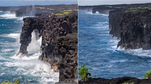
Tropical Storm Kiko, which has weakened but is still impacting the Hawaiian Islands, is creating hazardous surf conditions and rip currents. The storm is forecast to pass to the north of the islands without making direct landfall, but residents are urged to stay vigilant and monitor its progress. With maximum sustained winds of 40 mph, Kiko's waves are expected to peak shortly, leading to potentially life-threatening conditions along the coast.
HONOLULU (RTW News) — Tropical Storm Kiko is generating hazardous surf and rip currents across parts of Hawaii, even as the storm weakens to the north of the islands, according to forecasters. The National Hurricane Center indicated that Kiko would continue to pass to the north of the Hawaiian Islands on Tuesday and Wednesday. While the storm is not anticipated to directly impact the state, officials are advising residents to remain attentive to updates in case conditions change. With maximum sustained winds reaching approximately 40 mph (65 km/h), Kiko is positioned roughly 220 miles (355 kilometers) north of Hilo and about 220 miles east-northeast of Honolulu. The storm is currently moving west-northwest at 14 mph (23 km/h). The weather service anticipates that wave heights will peak on Tuesday and Wednesday, with warnings in place regarding dangerous surf and rip currents. Although no coastal watches or warnings are currently active, authorities are taking the potential hazards seriously, urging the public to exercise caution when near the water.