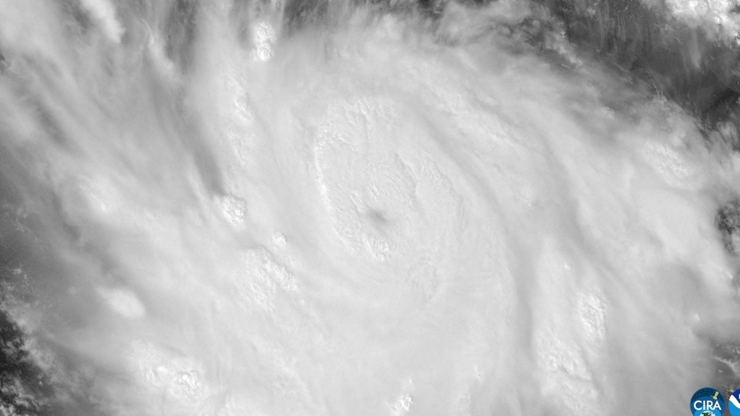

Hurricane Polo, a large storm off the coast of Mexico, has been downgraded to Category 4 but is still described as “very powerful” by the US National Hurricane Center.
The fast‑moving Pacific hurricane was one of the season’s strongest, projected to head toward the coast of southwestern Mexico while unlikely to make direct landfall. A NOAA Hurricane‑Hunter aircraft flew into the system on Tuesday and measured sustained winds near 180 mph (285 km/h), with even stronger gusts.
Polo’s slow movement is being supported by extremely warm ocean waters driven by the record‑strength El Niño climate phenomenon. Though downgraded from Category 5 on Wednesday morning, forecasters expect the storm’s intensity to fluctuate over the next few days.
Officials warn that the storm will bring torrential rainfall across Mexico’s southwestern coast, potentially causing life‑threatening flooding and mudslides, especially in steep‑terrain areas. Heavy rain is forecast to reach 6 inches (15 cm), with up to 8 inches (20 cm) in some spots. A tropical storm warning covers portions of the coast, and a watch is in effect west of Playa Perula.
President Claudia Sheinbaum confirmed that Polo will not directly hit the coast but urged residents in Jalisco, Colima and Michoacán to stay vigilant, highlighting the danger posed by large ocean swells and hazardous surf conditions for the coming days.
Data from the Hurricane‑Hunter aircraft indicated Polo could still strengthen due to the very conducive environment of very warm ocean waters feeding the system.
Scientists note that the current El Niño is the strongest ever recorded, with sea‑surface temperatures 3.05 °C above average in a crucial Pacific region. These warmer waters give storms more energy, raising wind speeds and storm strength.