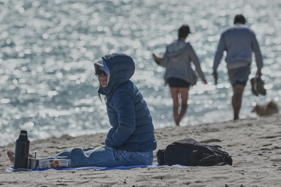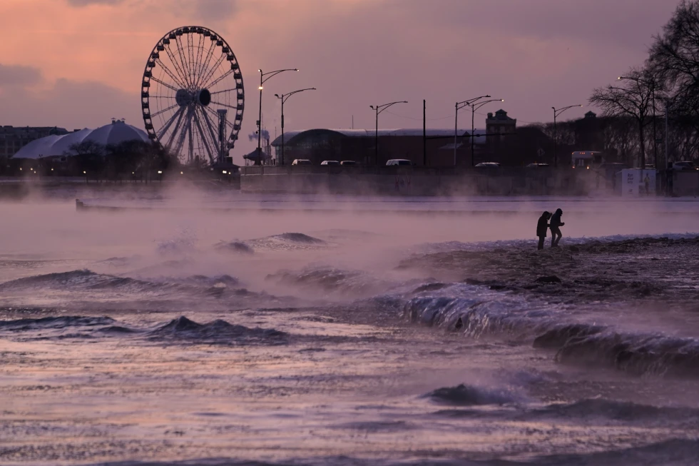
Frigid weather continues to grip the Midwest as a powerful cold front sweeps through the region, creating hazardous conditions. Forecasters have warned of extreme cold accompanied by wind chills that can feel as low as minus 25 degrees Fahrenheit in some areas.
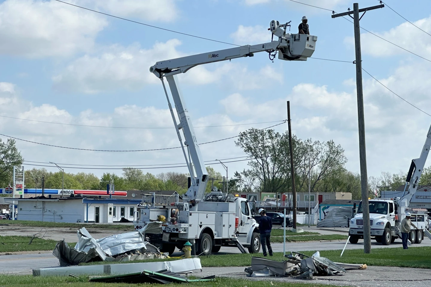
This cold snap follows a severe winter storm that left thousands without power across Iowa, Nebraska, Minnesota, and Wisconsin. Many utility companies are working vigorously to restore electricity after the storm's heavy snow and strong winds led to widespread outages.
In Michigan, a lighthouse keeper in the Upper Peninsula described the storm as the worst he has experienced since relocating in 2018, with wind gusts reaching up to 75 mph. The storm also left the iconic lighthouse dark for over 40 hours as he relied on oil lamps for light.
As the temperatures plummet, nighttime lows are predicted to drop to single digits across Wisconsin's Northwoods region. Temporary power outages and travel disruptions are expected as local authorities advise citizens to stay indoors during the worst conditions.
Additionally, this bitter cold is anticipated to extend beyond the Midwest, affecting the eastern parts of the United States. Some regions are bracing for up to 3 feet of snow, particularly in areas downwind of the Great Lakes, triggering lake-effect snow events.
Across the country, reports indicate nearly 74,000 customers remain without power, with weather services urging caution in travel, especially in areas experiencing whiteout conditions.
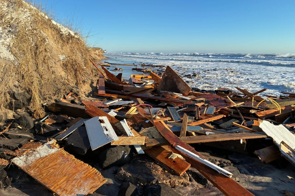
Meanwhile, on the West Coast, strong winds are contributing to hazardous conditions, impacting rescue operations in mountainous areas where recent storms have created unstable ground.
As the new year approaches, a rain forecast could also affect traditional events like the Rose Parade in Pasadena, a sign of the unusual winter weather patterns currently affecting various regions.