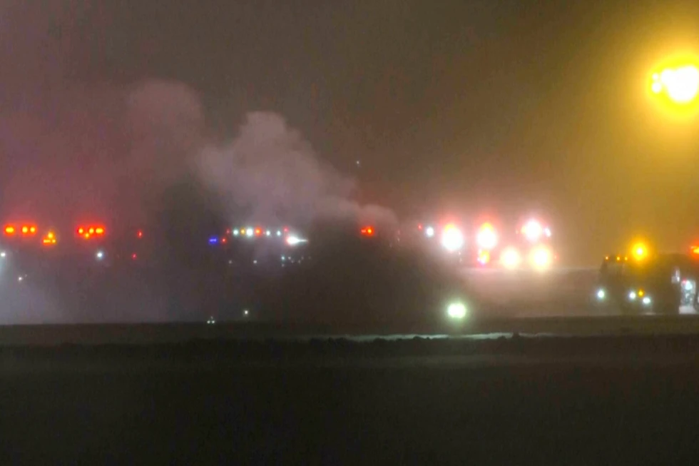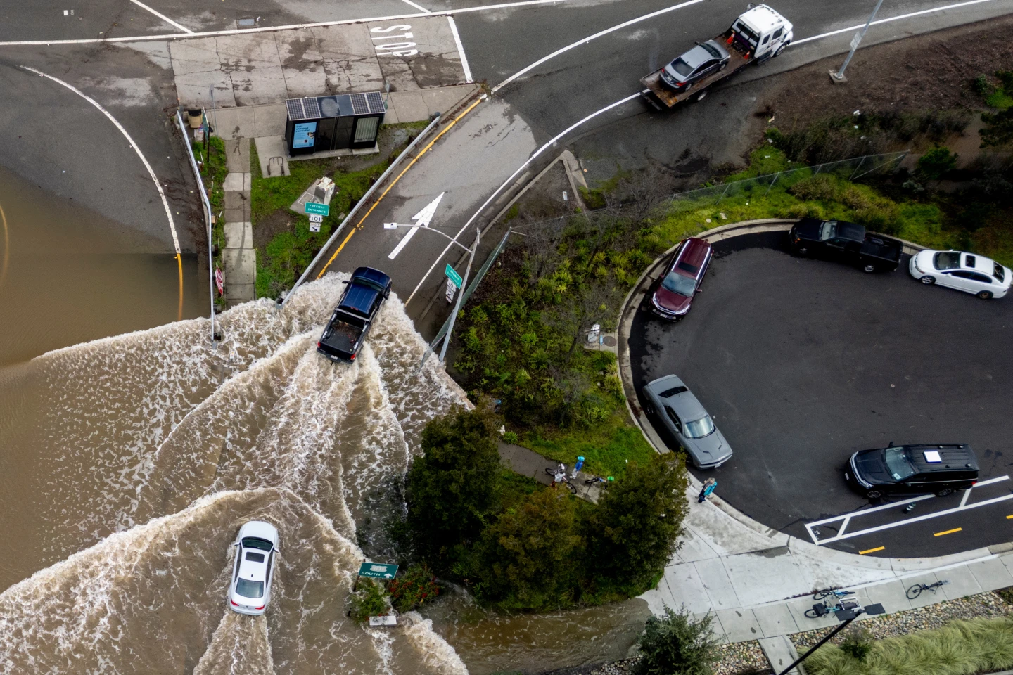
MIAMI (RTWNews) — A nameless storm and unusual king tides are contributing to some flooding along the Carolina coast early Friday as tropical storms form in both the Atlantic and Pacific regions.
Reports indicate that approximately a dozen streets in Charleston, South Carolina, have been submerged, leading the city to provide free parking in specific garages. Forecasts predict a high tide of 8.5 feet (2.6 meters) Friday morning in Charleston Harbor, marking the 13th highest on record.
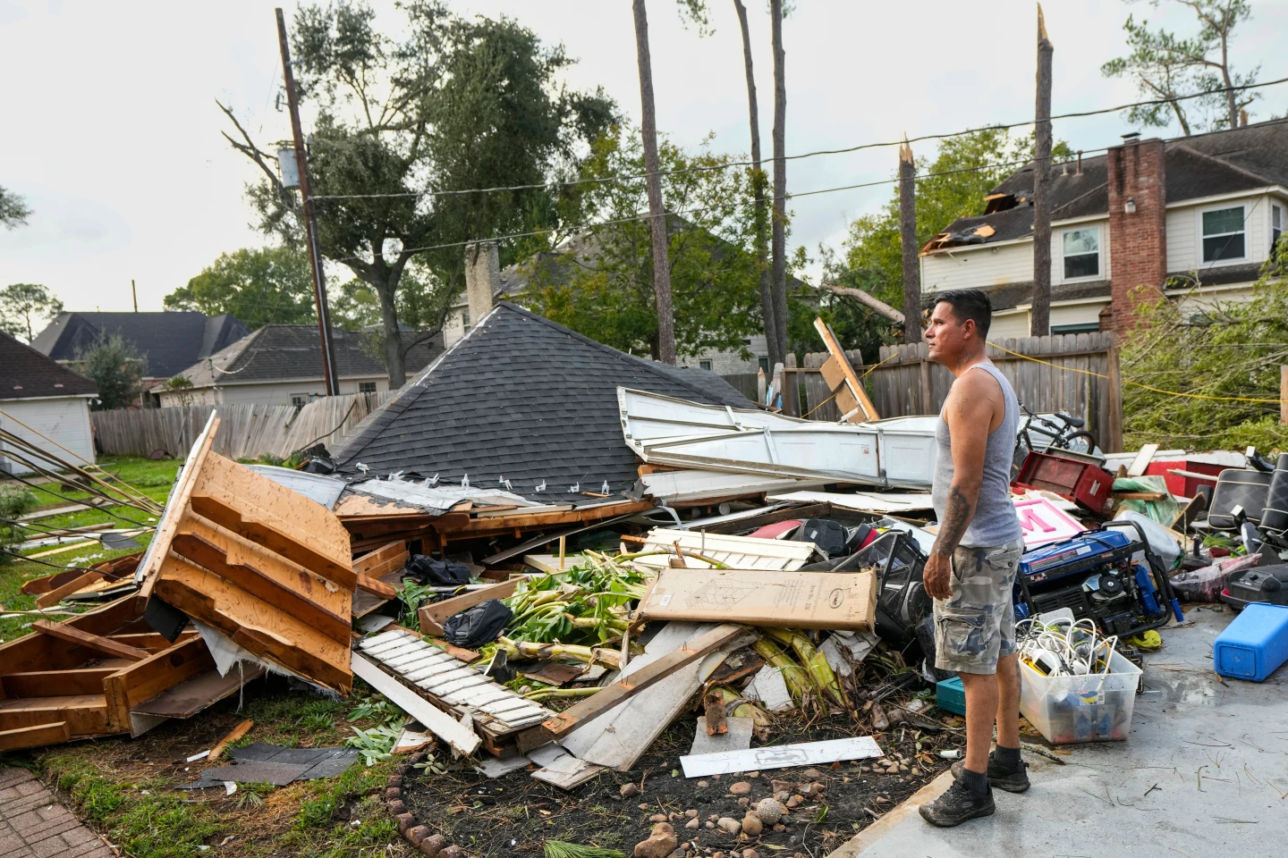
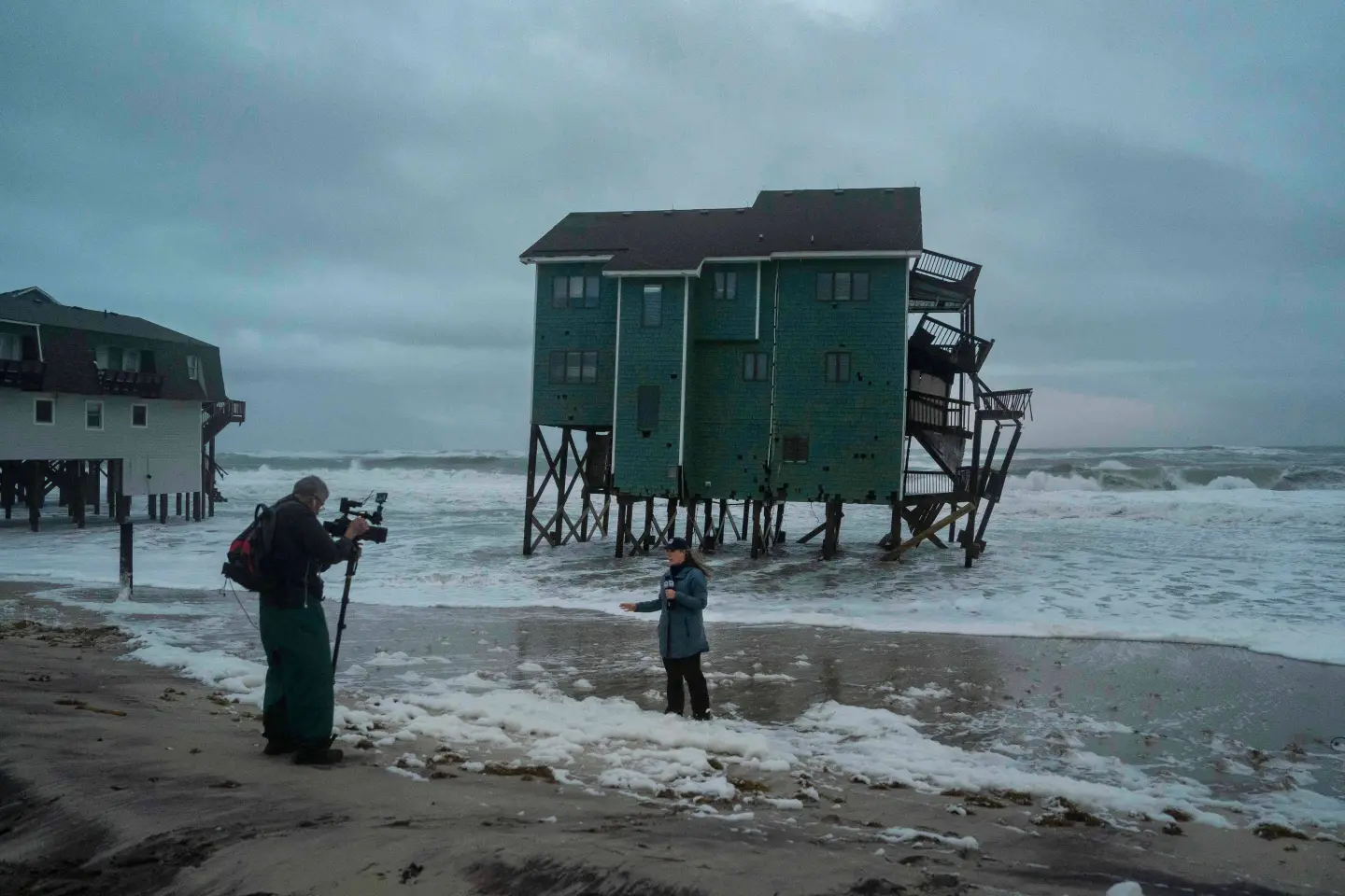
The coastal storm and extreme king tides, when the moon approaches Earth more closely, are expected to inflict heavy winds and subsequent flooding, especially endangering areas like the Outer Banks of North Carolina and Charleston.
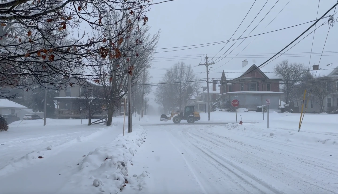
Residents living along the Outer Banks are advised to brace for the worst weather from Friday through the weekend, with imminent closure expectations for highway N.C. 12 on Hatteras and Ocracoke islands due to overwash.
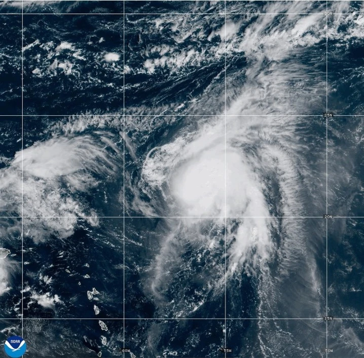
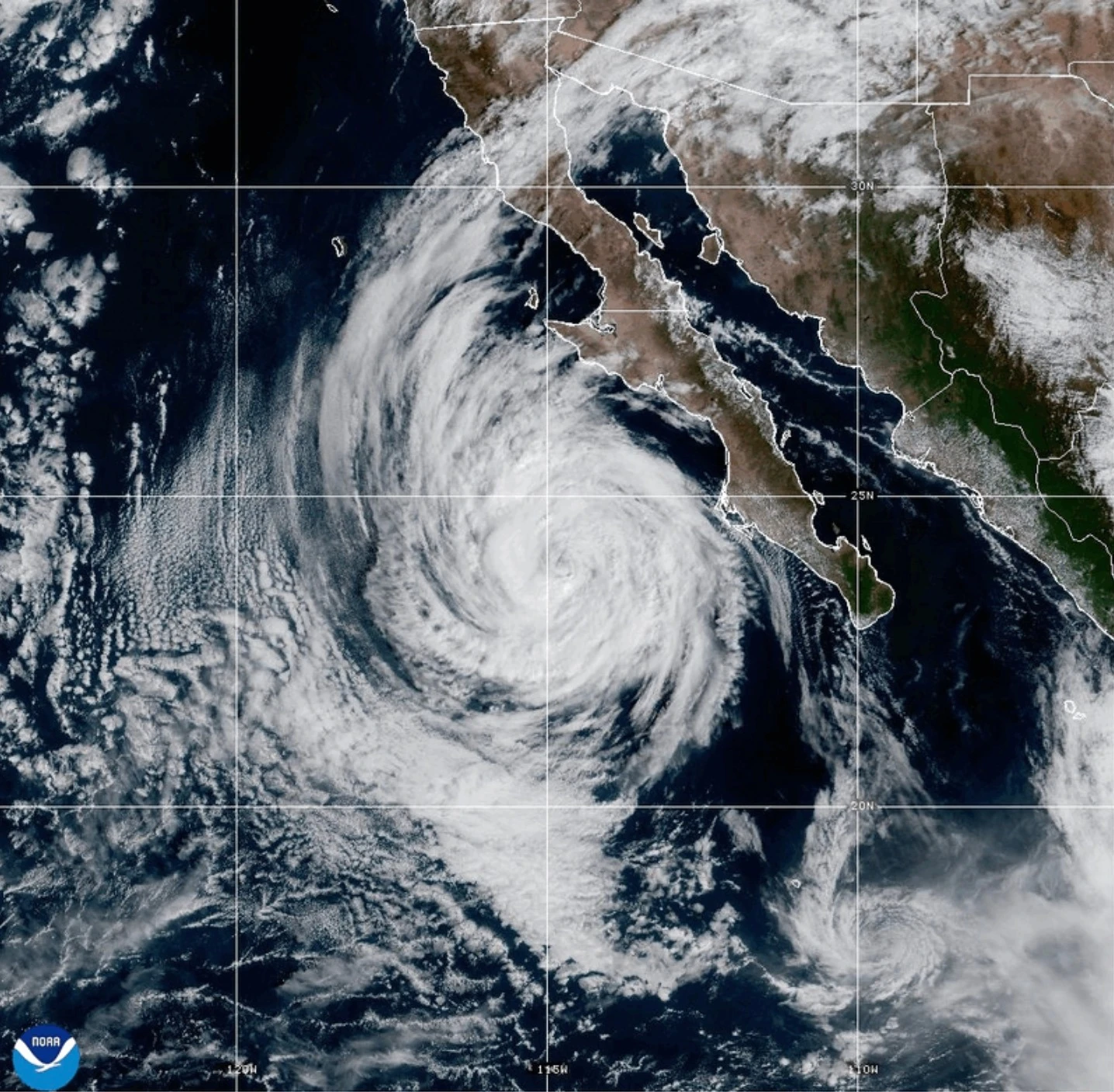
In Mexico's Pacific region, Tropical Storms Priscilla and Raymond pose threats of significant rainfall. Priscilla is predicted to lead to flash floods across the U.S. Southwest through the weekend, with flood watches issued in Arizona, California, and Nevada.
Priscilla is currently centered about 190 miles (300 kilometers) west-northwest of Cabo San Lazaro, Mexico, moving north at 6 mph (9 kph) with maximum sustained winds of around 50 mph (85 kph).
Similarly, a tropical storm warning has been issued due to Raymond, positioned approximately 95 miles (150 kilometers) south-southeast of Zihuatanejo, Mexico, with maximized winds also clocking in at 50 mph (80 kph), moving at a speed of 15 mph (24 kph).
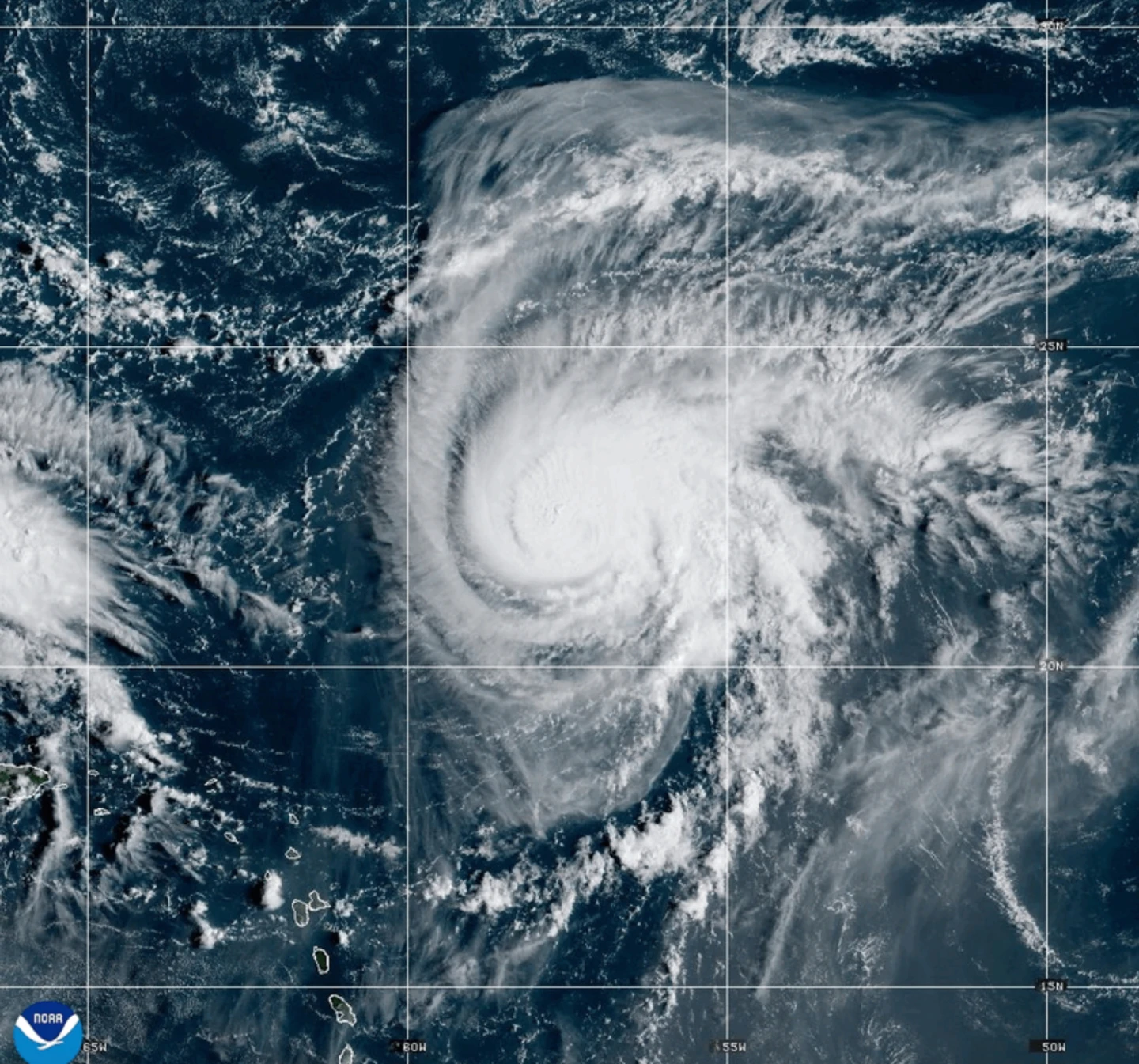
In the Atlantic, Tropical Storm Jerry is bringing heavy rainfall near the northern Leeward Islands, with warnings for potential power outages in Guadeloupe. Environmental authorities caution that changes in Pacific ocean patterns could influence upcoming weather systems, although the current hurricane season is nearing its late stages.