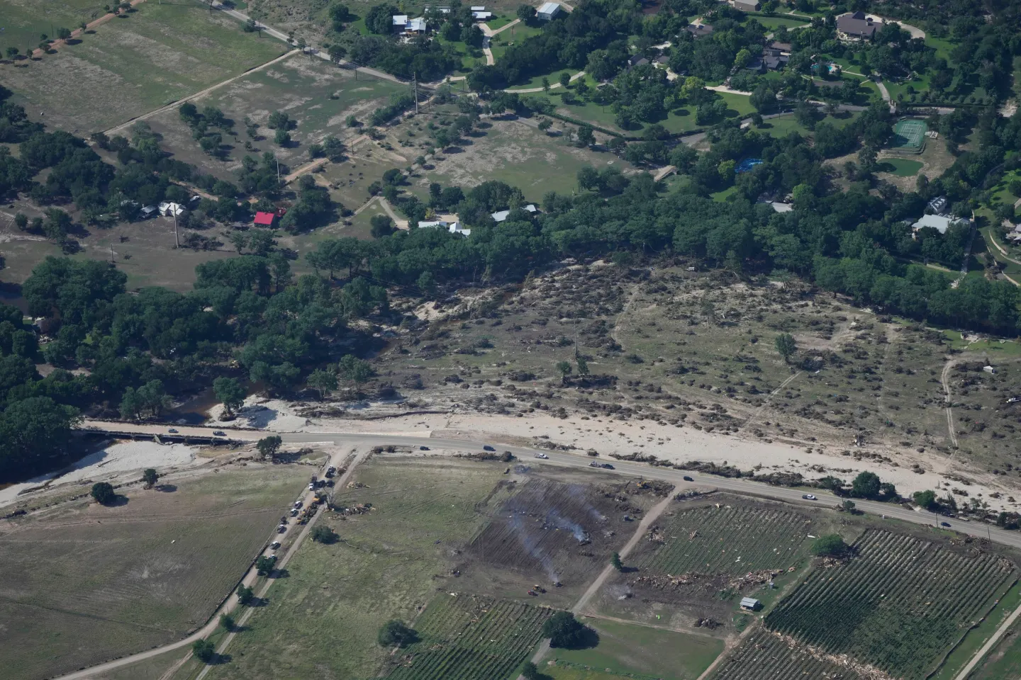
The Pacific Northwest is bracing for a challenging week ahead as the first of several powerful storms made landfall on Tuesday, unleashing heavy rainfall and swelling rivers.
The National Weather Service’s Weather Prediction Center is forecasting extended periods of heavy rain for western Washington and northwestern Oregon, exacerbated by a strong trans-Pacific jet stream. Major flood watches are also in effect, signaling potential flash flooding along the coast and extending into the Cascades.
In one instance, fire crews were able to rescue two individuals trapped by floodwaters at a campsite near Gold Bar, Washington. Responders utilized drones and specialized water rescue crafts to ensure their safety, according to reports from local media.
The Snohomish County Department of Emergency Management has raised alarms, with the Skykomish River reaching major flood levels and residents in flood-prone areas being alerted to evacuate. Authorities conducted door-to-door warnings in neighborhoods anticipated to be affected by flooding.
A further concern arose with the closure of eastbound Interstate 90 at North Bend due to debris caused by severe weather, though it was reopened later in the day.
The weather forecast alternative signals the potential for more rain through midweek as an atmospheric river phenomenon is expected to influence precipitation patterns, prompting alerts for commuting times, particularly in Portland where heavy rains could heighten road hazards.
In addition, a fast-moving storm across the Upper Midwest is predicted to bring difficult winter weather conditions, further complicating travel and safety measures across the region.
As the storms continue to develop, both residents and officials are advised closely monitor conditions and stay prepared for fluctuating weather systems as the week proceeds.